UK Orders by Postcode Mapping Report

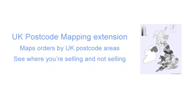
This is an extension for Opencart Admin that provides a graphical illustration of the distribution of orders by UK postcode area (LS, M, EC etc).
The number of orders by postcode area is indicated via dynamically created shading, and postcode areas can be highlighted with the mouse to identify the area and show the number of orders for that area. Orders can optionally be filtered by start date and/or end date. Postcode area is identified from the payment_postcode field on the order.
The extension requires javascript and will not work in Internet Explorer 8 or lower due to the lack of support for svg images.
This extension comes with a custom version of jQuery which runs alongside the default version used by Opencart. Note that the extension requires the use of vQmod (currently for all supported versions of OC) which ensures that no files are overwritten by this extension.
Demo
You can view the extension working at http://oc154.simonbattersby.com/admin/.
Username/password are demo/demo, access report via Reports > Sales > Postcode Analysis.
If you would like to use this extension with earlier versions of Opencart, please leave me a comment. If you would like a similar report for a different country, please get in touch.
Price
$20.00
- Developed by OpenCart Community
- Documentation Included
Rating
Compatibility
2.0.0.0, 2.0.1.0, 2.0.1.1, 1.5.4, 1.5.4.1, 1.5.5.1, 1.5.6, 1.5.6.1, 1.5.6.2, 1.5.6.3, 1.5.6.4
Last Update
19 Jan 2015
Created
17 Apr 2014
1 Sales
0 Comments

Login and write down your comment.
Login my OpenCart Account